Our services in aerial photogrammetry

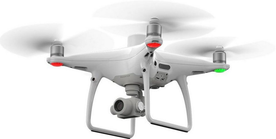
The Aibotix flight robot generates data in highest precision for Orthophotos, 3d models and point clouds. We also reach difficult-to-access areas from the air and thus save time and effort, as large areas can be quickly captured. With the Multicopter we receive more information than with the terrestrial point recording and offer you a much higher information content for your planning.
Your advantages by using the Aibot:
- Orthophotos
- 3d
- Point clouds
- Volume calculation based on the data material
- Highly accurate geo-referencing by RTK
- Time Savings
- Recordings from all angles possible
- Certified pilots plan and control the flight
- No runway is required, starting in the smallest space is possible
- Flexible camera positions can be performed during the flight
- Flight via remote control or automatic waypoint planning
