
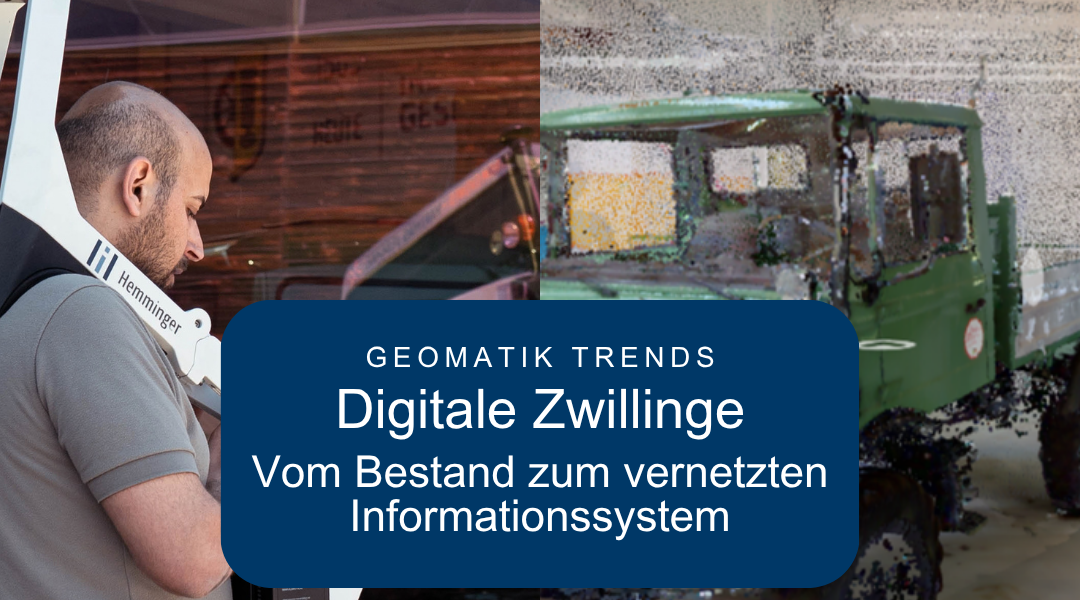
 3D ASSET SURVEY & DATA MANAGEMENT
Digital Twins: How Connected Geodata Enables Better Decisions
From a digital inventory model to a networked information system: Digital twins demonstrate how geomatics is evolving from mere data collection to data processes that can be used over the long term.
Why Digital Twins Are Getting So Much Attention Right Now
The requirements for construction, energy, and infrastructure projects are changing. Planning and operational processes are becoming more digital, different systems must work together, and up-to-date information on the current status is needed by many stakeholders simultaneously.
This is also changing the role of geomatics. Whereas the focus used to be on individual surveys and surveying data, today the emphasis is increasingly on digitally modeling real buildings, facilities, and infrastructure and making the information obtained usable over the long term.
Data alone does not create added value. Only when it is systematically consolidated and made usable for specific processes does it provide a reliable basis for decision-making.
This is exactly where digital twins come into play.
More than just a three-dimensional model
A digital twin is more than just a point cloud, a 3D model, or a BIM model.
These provide a digital representation of the physical assets and can serve as an important foundation. A digital twin goes a step further: various types of information are linked together, updated, and used, for example, for planning, analysis, operations, or maintenance.
The true value therefore lies in not just in visualization, but in making information more accessible and enabling more informed decisions.
Which technologies are driving this development?
Several developments in modern geomatics are intertwined in this context:
Reality Capture: 3D laser scanning, mobile mapping, drones, and photogrammetry enable detailed digital surveys of complex buildings, facilities, and infrastructure.
BIM and GIS: BIM organizes information about buildings and technical systems. GIS provides the spatial context for networks, land areas, and overarching infrastructure.
Data Management: As the volume of data grows, structure, timeliness, and interfaces become increasingly important. It is crucial to make the information required for each specific use case available in a usable format.
GeoAI: Artificial intelligence opens up new possibilities for automatically analyzing large geodata sets, recognizing objects, or identifying changes more quickly.
The trend is thus shifting from individual data collection and modeling technologies toward networked data processes.
How We Are Helping to Shape This Development Today
Many of the fundamentals of this development are already part of our work in the area of 3D As-Built Documentation & Data Management. Using 3D laser scanning, 3D and BIM models, and structured data models, we create digital as-built documentation for subsequent processes.
It is important to make a clear distinction here: Not every point cloud and not every 3D or BIM model is automatically a digital twin. However, they can serve as essential building blocks for one. The key is to process the captured information in such a way that it can be reused and linked according to the specific use case.
Case Study: FutureWork360
The research project demonstrates how a digital twin can be used in practice FutureWork360 (Link). Working for the Fraunhofer Institute, Hemminger used mobile scanning systems to capture various laboratory environments and created digital twins from them. These enabled researchers to use the laboratory environments digitally, regardless of time or location, and to exchange information about research projects across different sites.
The project demonstrates that the benefits of a digital twin extend beyond mere three-dimensional visualization: The digital collection is becoming a usable information and work environment.
Current collaborations also build on this trend. As a partner of Siemens Smart Infrastructure Since 2026, our services for 3D as-built documentation and data management have been on the Siemens Xcelerator Marketplace (Link) represented. The captured asset data can, among other things, serve as the basis for digital twins and other applications throughout a building's lifecycle, and can be integrated into digital building documentation in conjunction with Siemens Building X.
What are the benefits for clients?
Digital twins provide a common digital information foundation, particularly for complex buildings, facilities, and infrastructure that are operated over the long term.
You can help by
- To document inventory accurately and in a traceable manner,
- To illustrate changes over time,
- Better align planning with the actual inventory,
- to identify spatial conflicts and potential risks earlier,
- To consolidate information from various project participants and
- Reuse inventory data for operations and maintenance processes.
This results in the following for clients: Greater transparency, greater planning certainty, and a better information base for decision-making.
Outlook: From Data Collection to the Information Process
Digital twins are a prime example of the evolution of geomatics: moving away from isolated inventories toward interconnected information systems that can be used over the long term.
Reality capture, BIM, GIS, and data management are becoming increasingly integrated. GeoAI opens up even more possibilities for automated analysis.
In addition to the question "How can we capture reality as accurately as possible?" is therefore becoming increasingly crucial:
"How do we ensure that the information we gather remains usable in the long term?"
The combination of inventory assessment, 3D documentation, and data management provides an important foundation for advanced digital applications.
After all, even the most intelligent digital twin needs reliable and structured data from the real world.
FAQ
- What is a digital twin?
A digital representation of a real-world object or system that is linked to additional information and can be updated and used depending on the application. - What data is needed to create a digital twin?
The data required depends on the specific use case. Typical basic elements include Surveying and laser scan data, point clouds, 3D and BIM models, GIS data, image and drone data, and technical as-built information. Depending on the application, asset, condition, sensor, or operational data can also be integrated. It is crucial that the data be up-to-date, structured, and usable for the intended processes. - What are the benefits of a digital twin?
A digital twin creates a shared digital information base for real-world buildings, facilities, or infrastructure. It can help to transparently map current conditions and changes, better align planning with actual conditions, identify spatial conflicts early on, and consolidate information from various stakeholders. Depending on how it is designed, the data can also be used for Operations, Maintenance, and Other Digital Processes be used.